The words endangered species generally bring to mind visions of exotic animals in faraway places. Animals like the black rhinoceros or the Asian elephant or the bandicoot of Australia. However, unbeknownst to many, the Lone Star State has its own critically endangered species — the humble Attwater prairie chicken.
What is a prairie chicken, you ask?
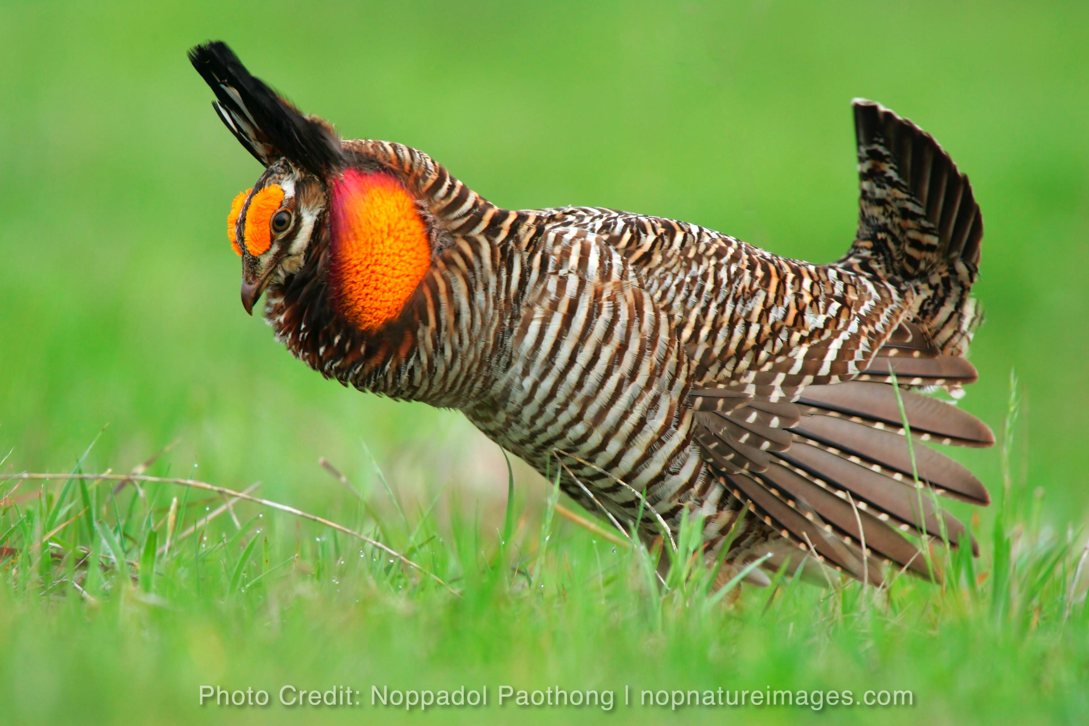 The Attwater prairie chicken is one of the most endangered birds in North America. A member of the grouse family, this barred brown and tan bird is unique to the coastal prairies of Texas and Louisiana. A hundred years ago they numbered up to an estimated one million birds. Today, the few remaining birds are protected by the Endangered Species Act of 1973.
 The Attwater Prairie Chicken National Wildlife Refuge is home to the remaining population of this ground-dwelling grouse. The prairie chicken is a fascinating bird. Each spring, the males of the species gather to perform an elaborate courtship ritual that includes inflating their yellow air sacs and emitting a strange, booming sound. Rangers at the refuge can tell you the best seasons and times to catch a glimpse of these remarkable birds.
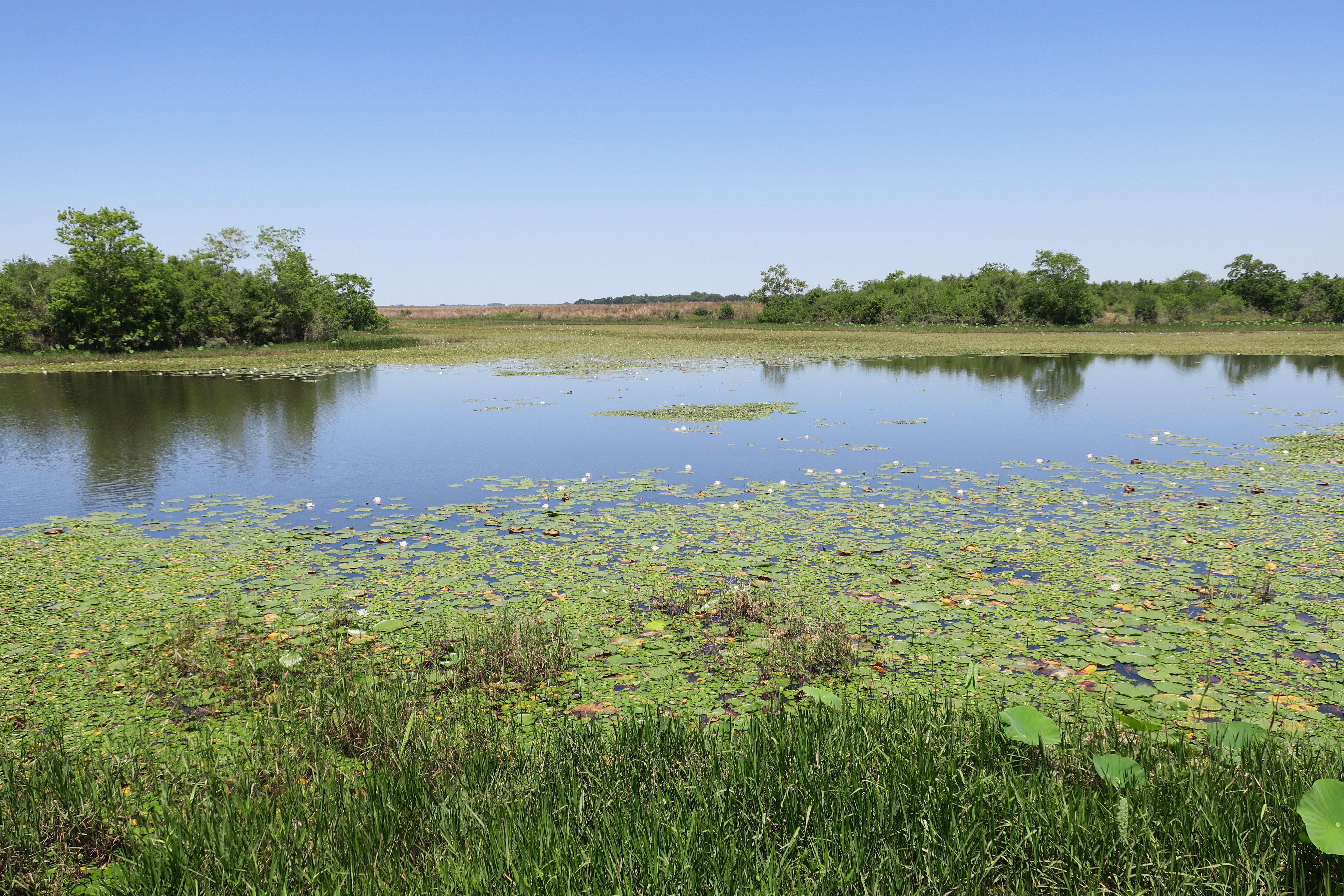 Development along the Gulf Coast over the years has claimed almost six-million acres of prairie, pushing the prairie chicken to the edge of extinction. The survival of this endangered species depends on the faithful stewardship and careful management of the prairie chicken’s declining ecosystem. Today, less than 200,000 fragmented acres of prairie remain, including the 10,339-acre Attwater Wildlife Refuge.
 Places like the Attwater Wildlife Refuge are important because they are a haven for native and migratory birds. The Attwater Refuge is one of a few refuges managed specifically for an endangered species. Intentional efforts to protect prairie chicken hatchlings, for example, increases the likelihood that their numbers will continue to steadily rise and once again grace our remaining prairies with their courtship dance.
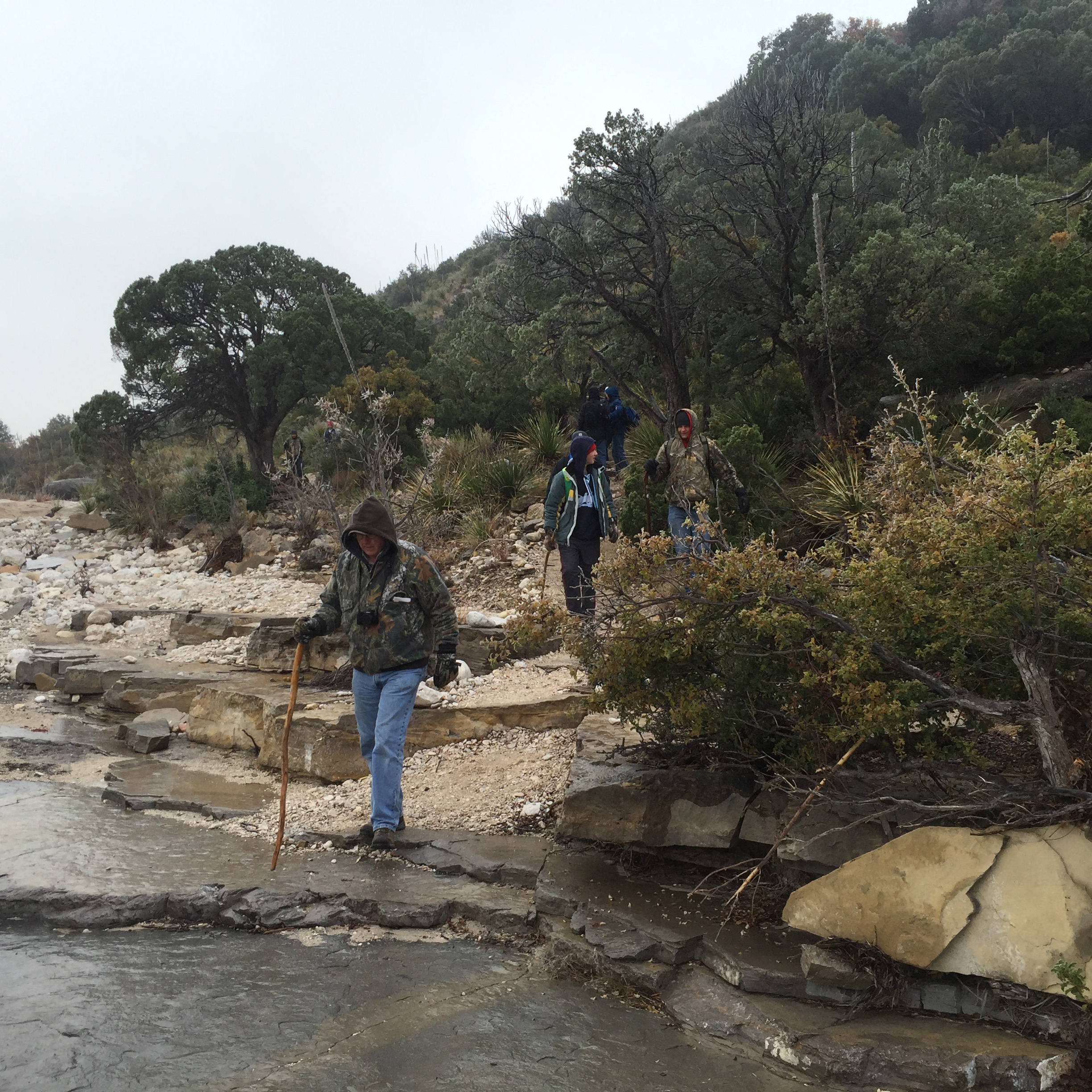
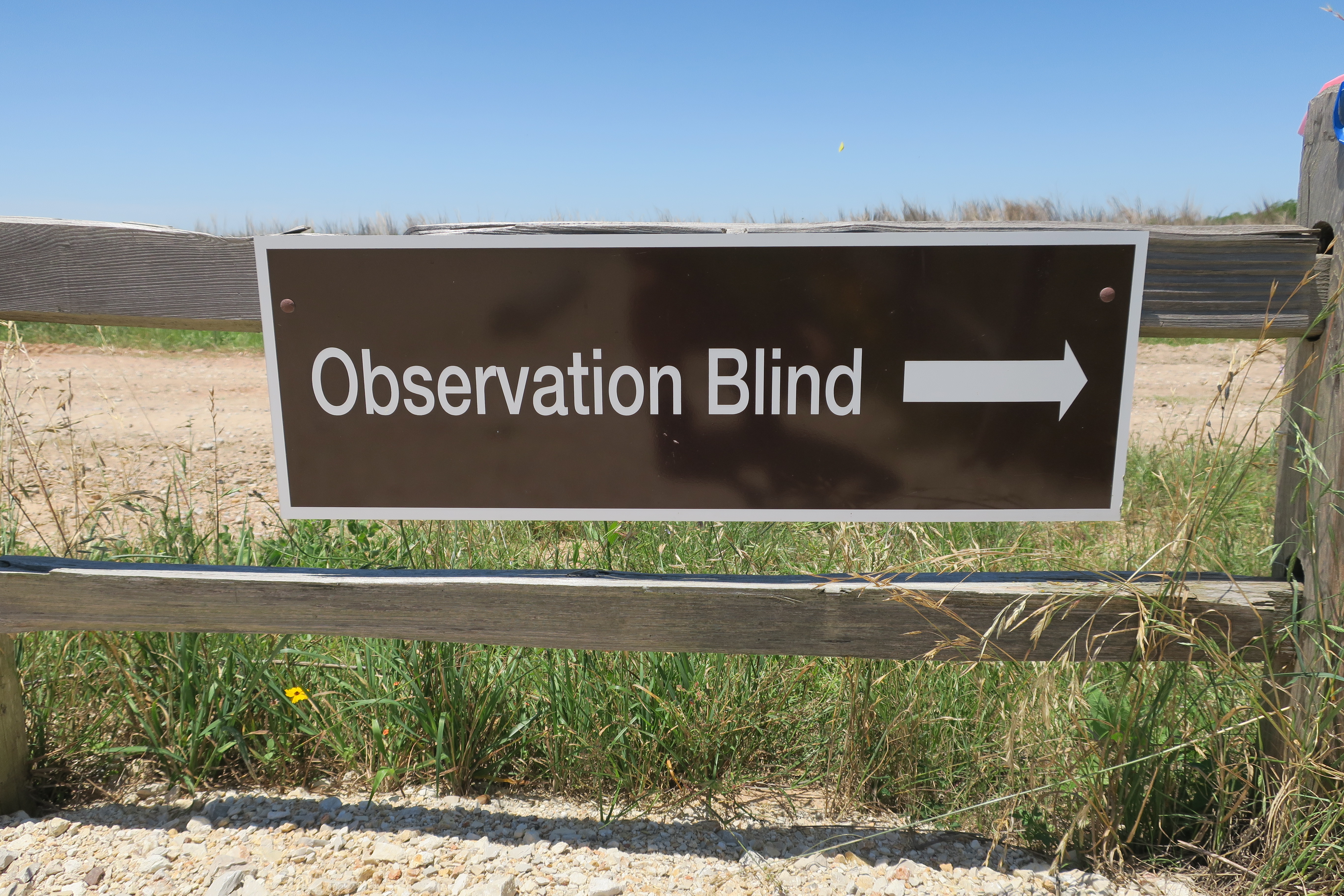
 The Attwater Prairie Chicken National Wildlife Refuge is located southwest of Sealy and northeast of Eagle Lake. The refuge is easily accessible and offers a car route, hiking trails, wildlife viewing stands, and acres of beautiful vistas in every direction. The headquarters features a remarkable display of birds native to the region and a brief orientation video.
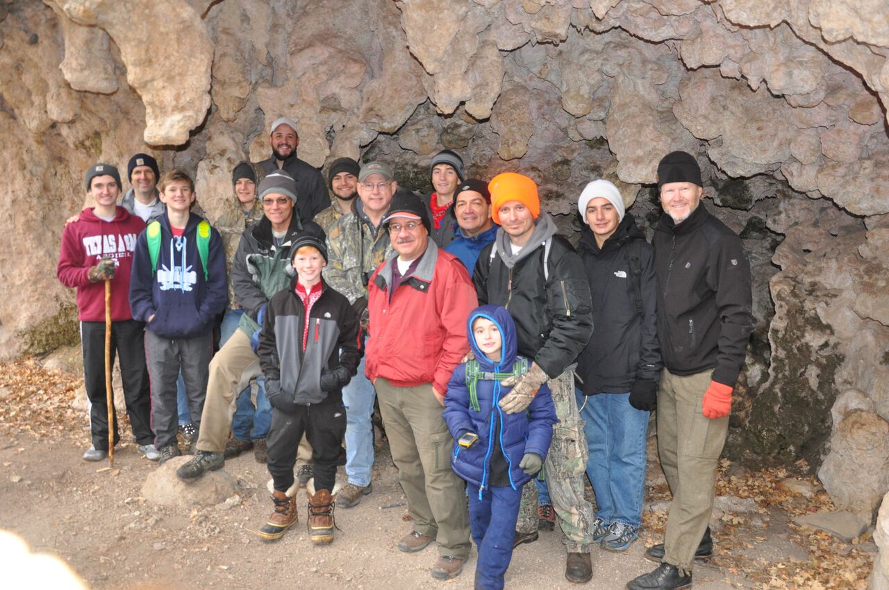
 If you are looking for a day trip near Houston, check out the Attwater Prairie Chicken National Wildlife Refuge. You will enjoy the vistas, the fresh air, and learning about the birds and plants native to our remaining gulf coast prairies.