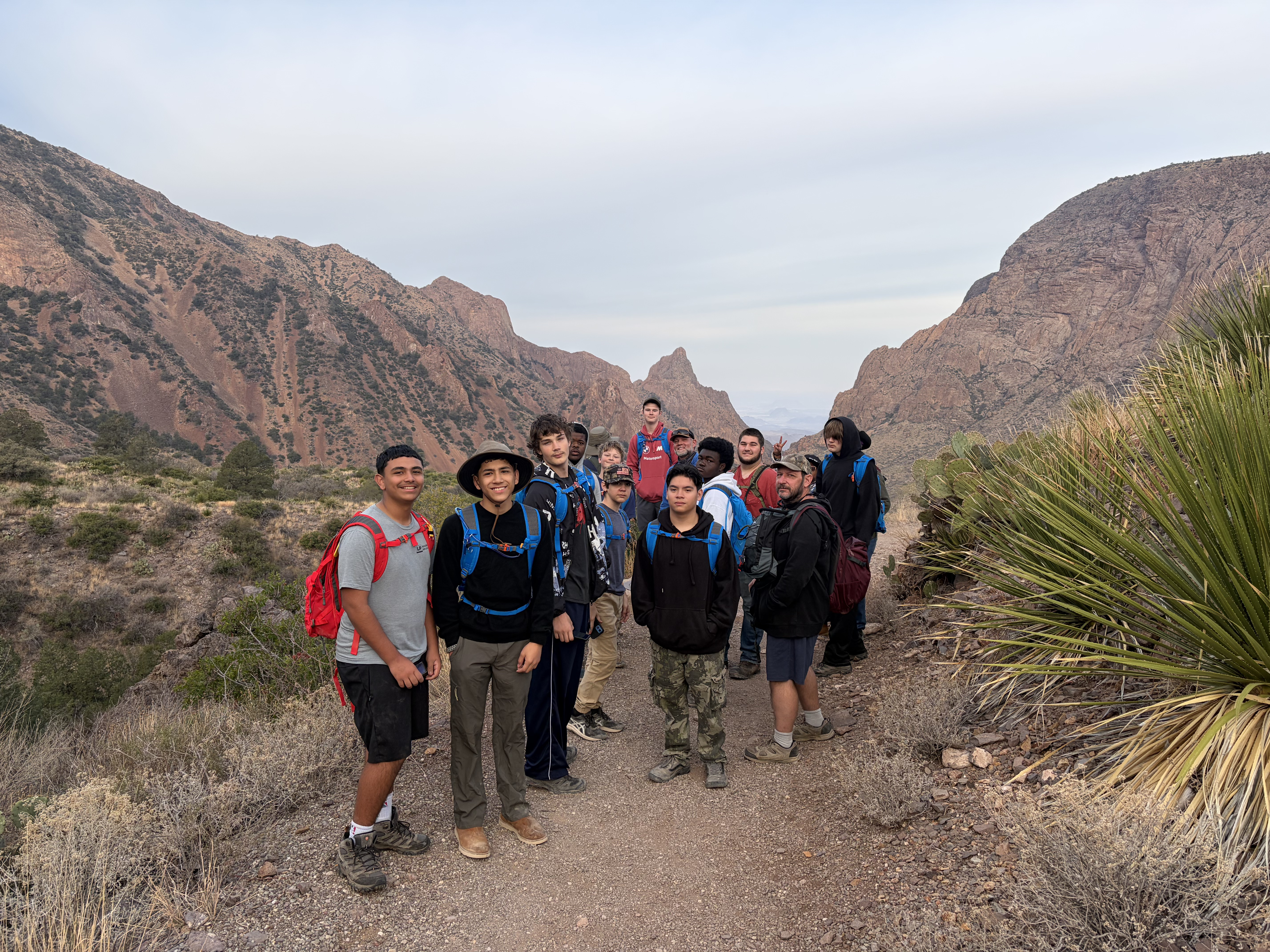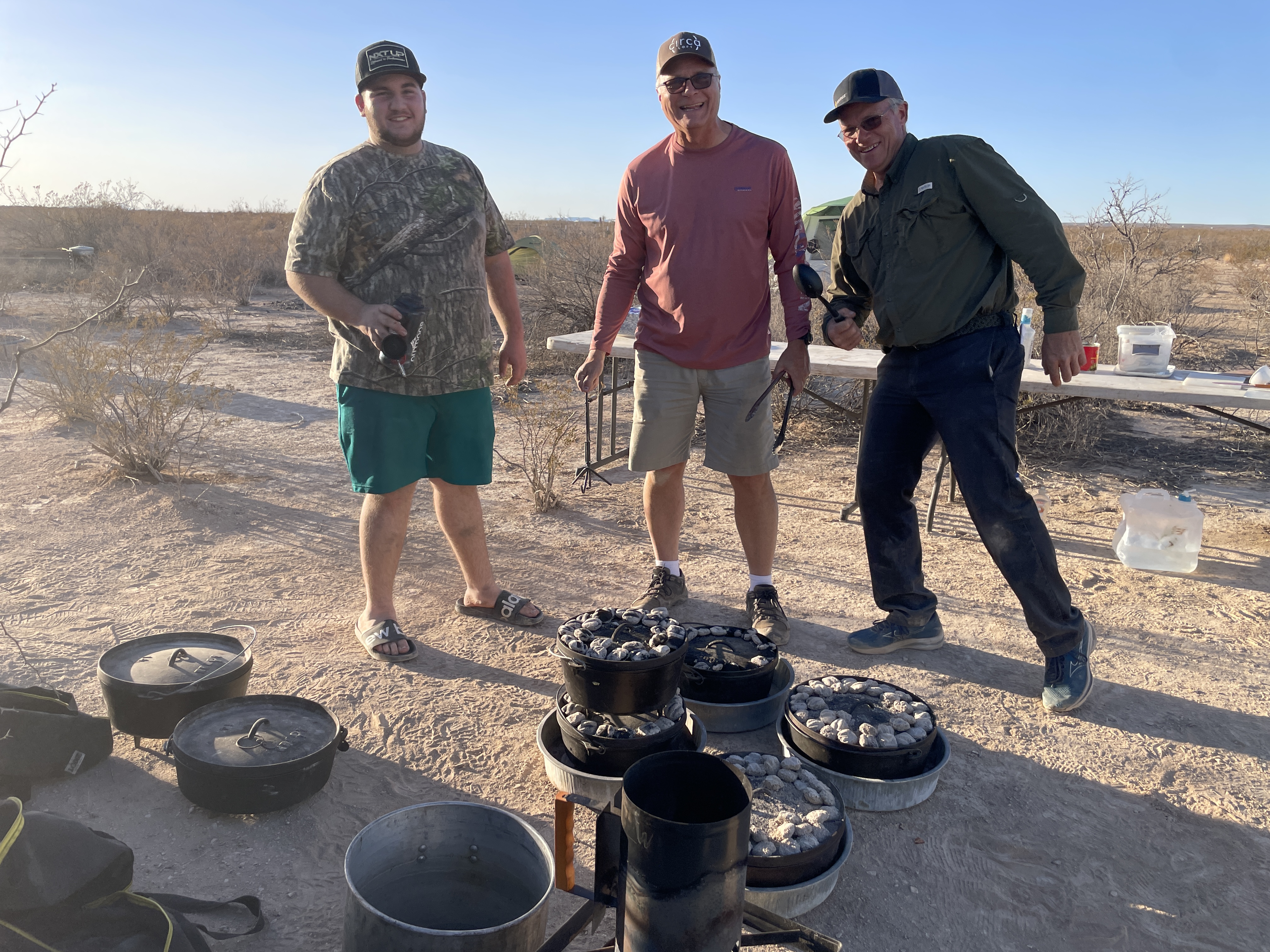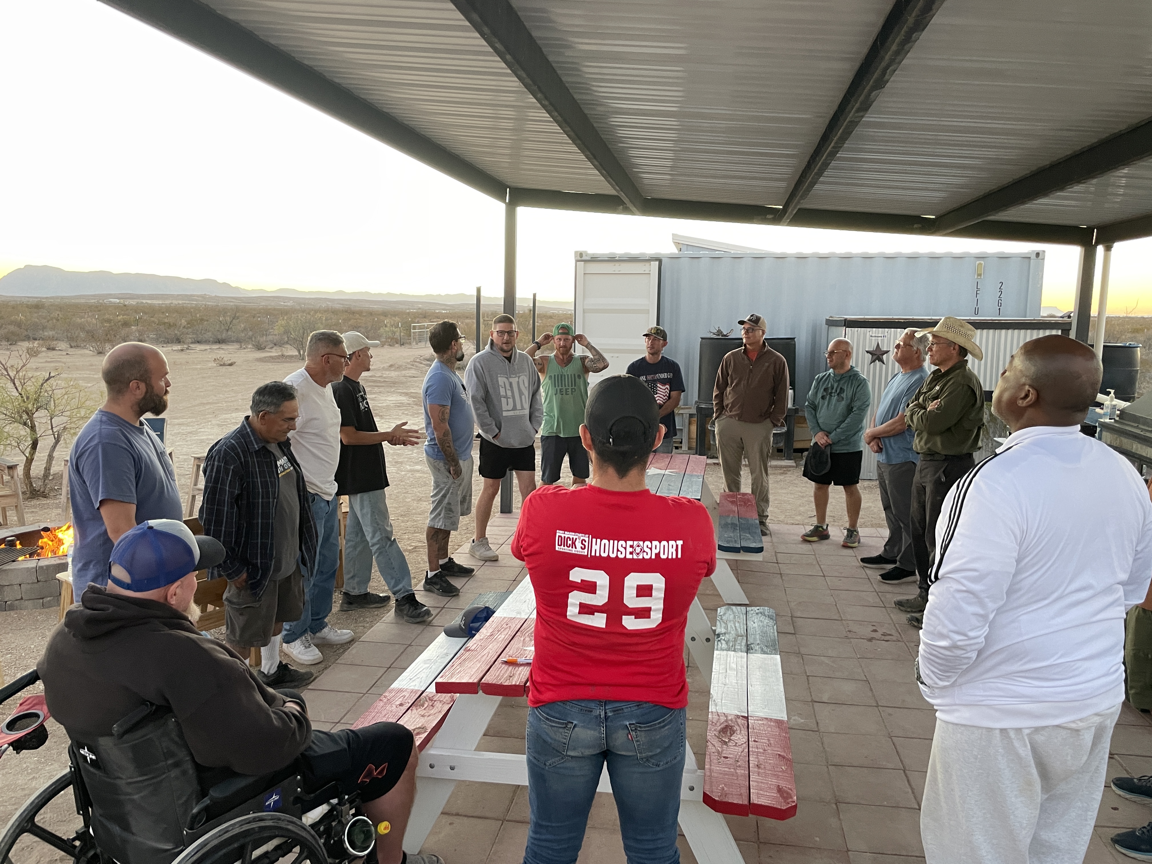
This past week, Cheryl and I hosted our fifth annual Big Bend Adventure for boys from the Brookshire community and their mentors. Brookshire, located west of Houston, has the highest percentage of fatherless homes in the greater Houston area.
We host these campouts in partnership with The Hangar, a ministry of Eyes On Me, a Christian nonprofit dedicated to mentoring, discipling, and serving at-risk youth and their families.
Eyes On Me is very intentional about investing in the lives of boys in the communities they serve throughout the greater Houston area. They understand that boys are often wired with tremendous energy, curiosity, and a natural instinct toward exploration and risk.

The outdoor adventures they organize for these boys in locations around Texas and Colorado provide a healthy outlet for that energy. Getting boys into environments where they can hike, climb, swim, and explore allows them to stretch themselves in positive ways and push their limits safely.
These experiences give boys an opportunity to channel their energy into purposeful action while learning resilience, courage, and responsibility—qualities that will serve them well as they grow into manhood.
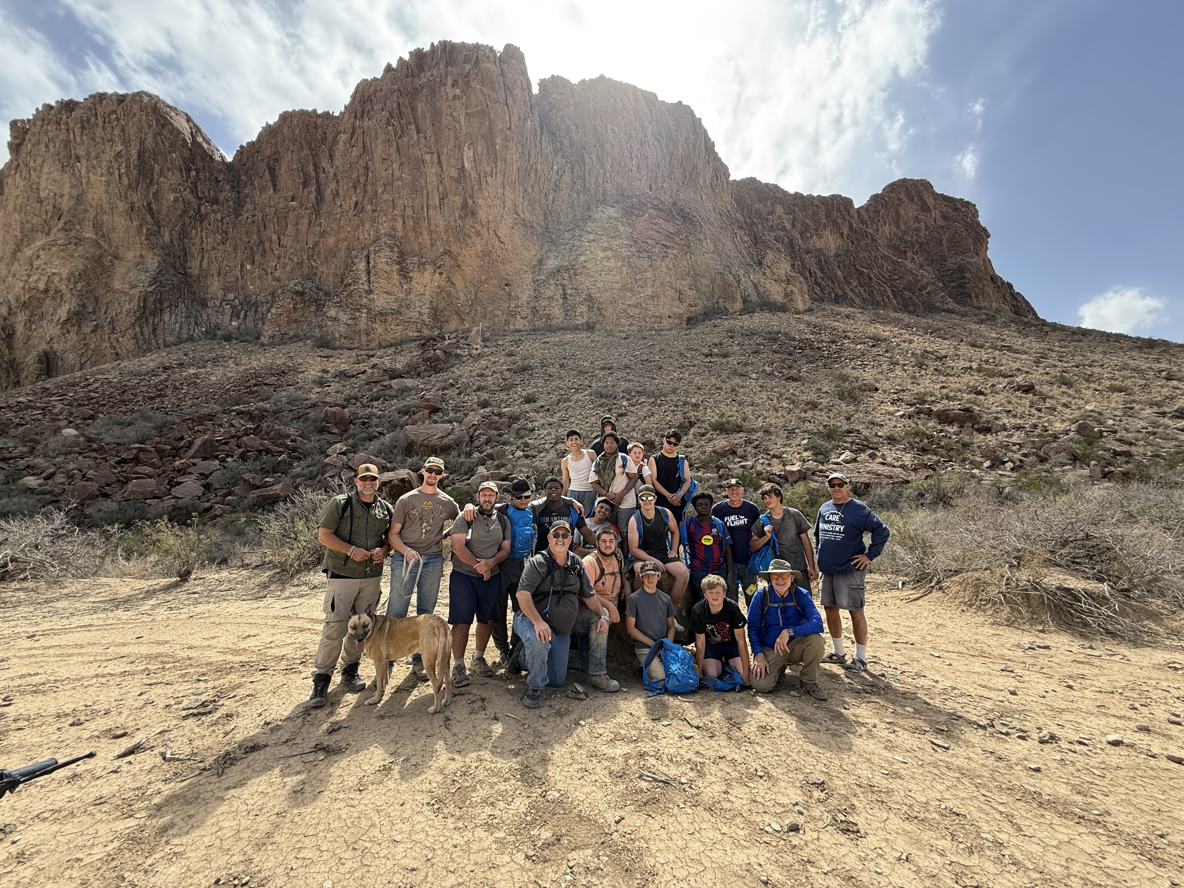
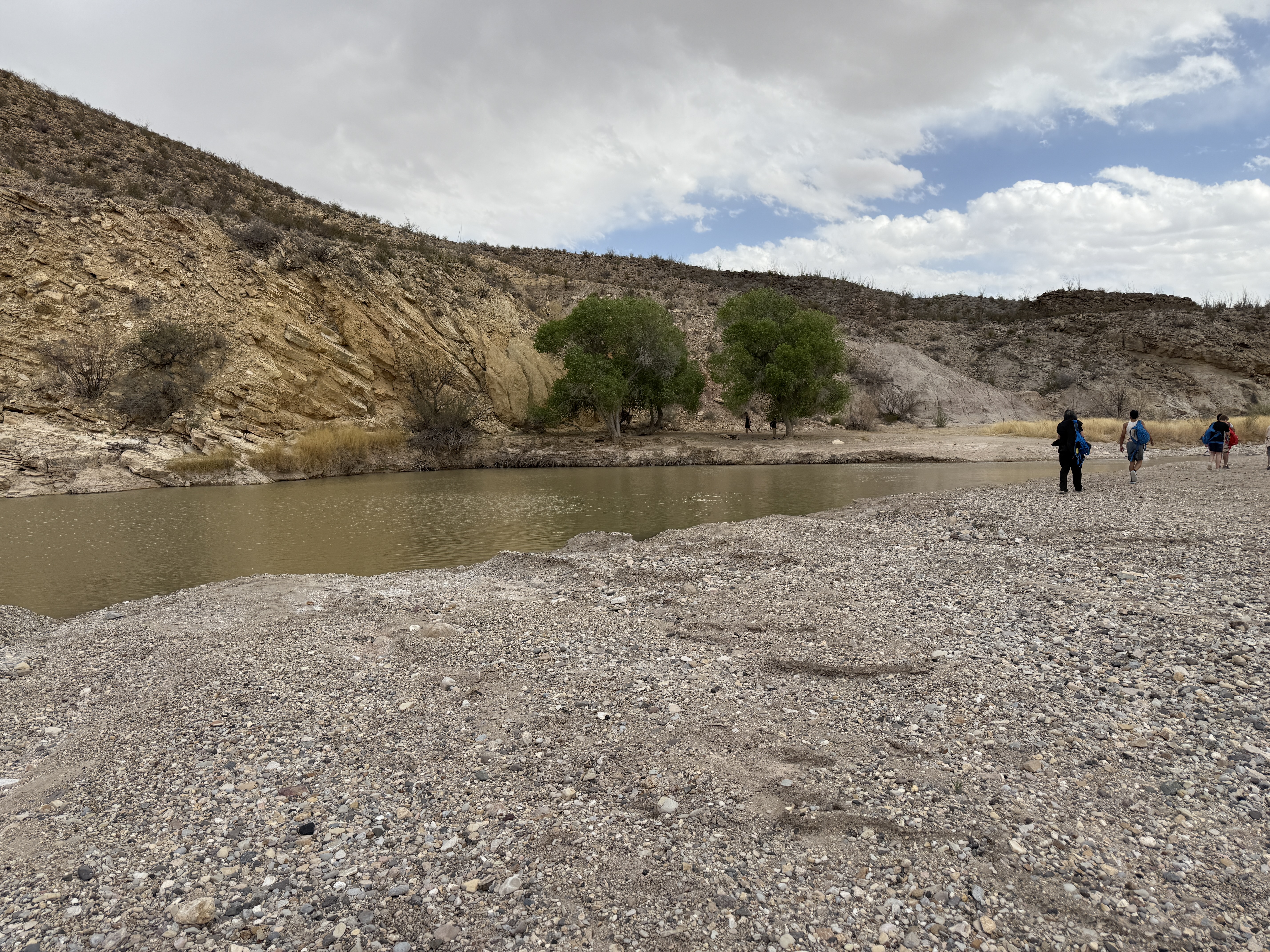
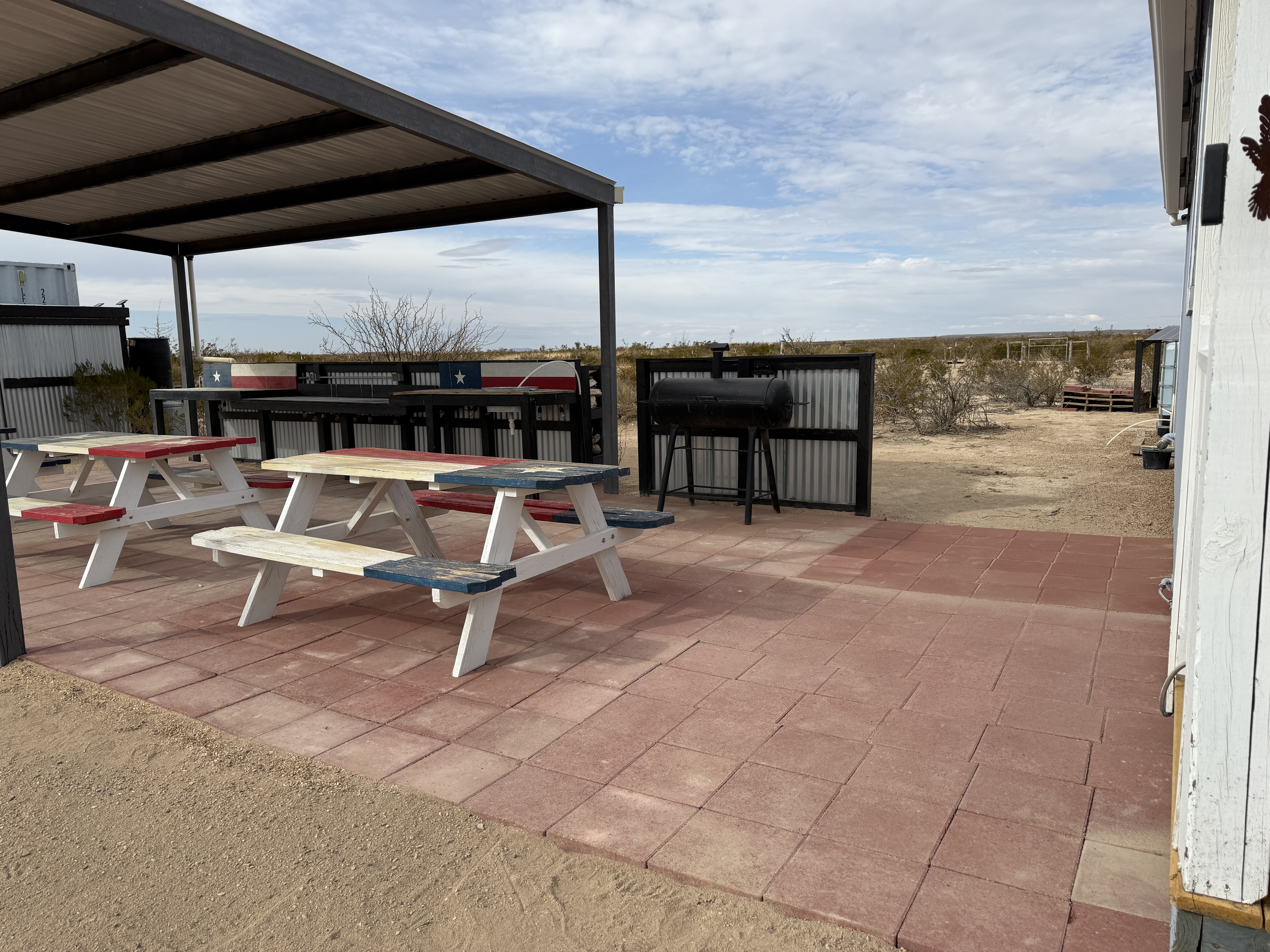
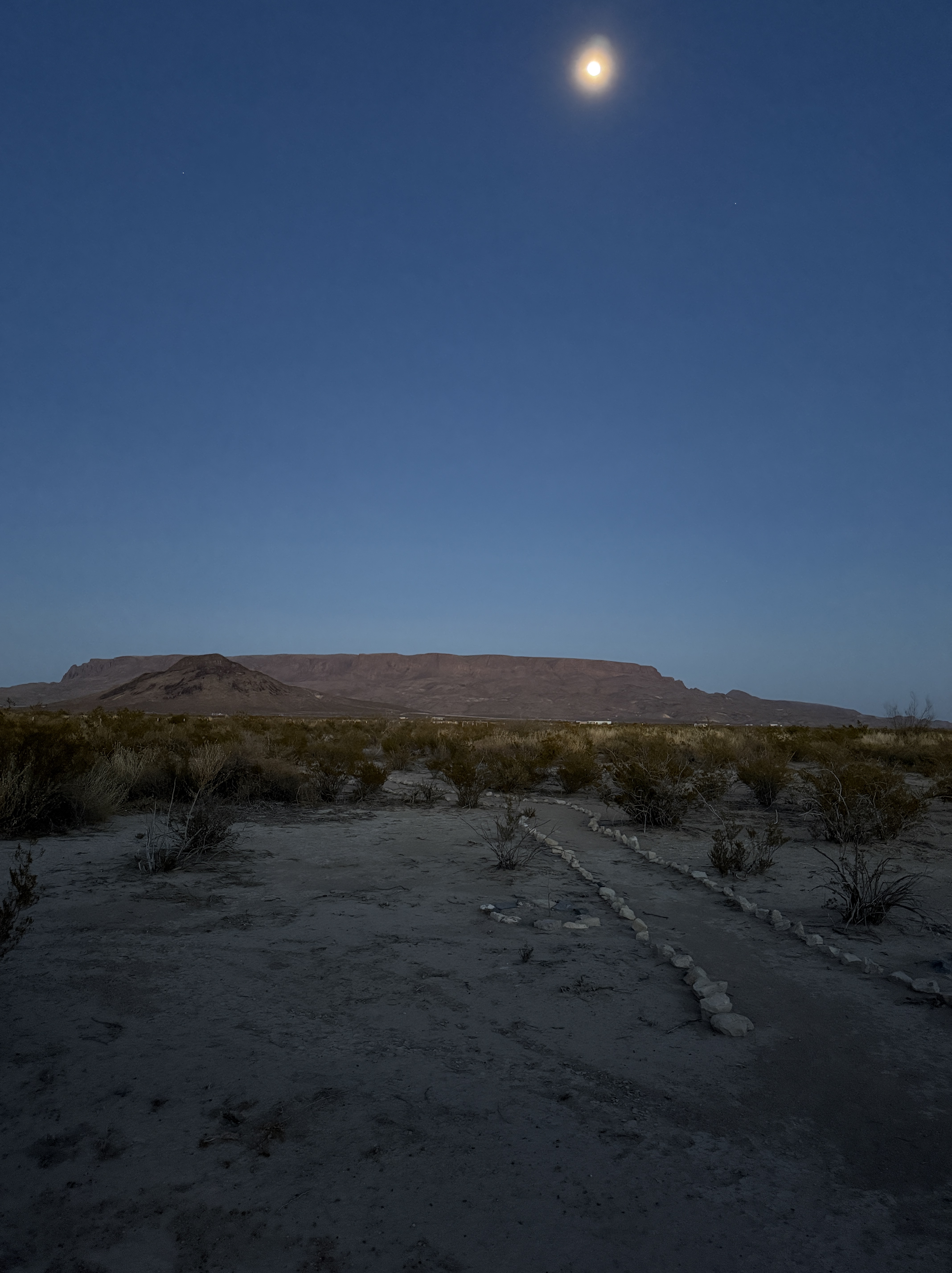
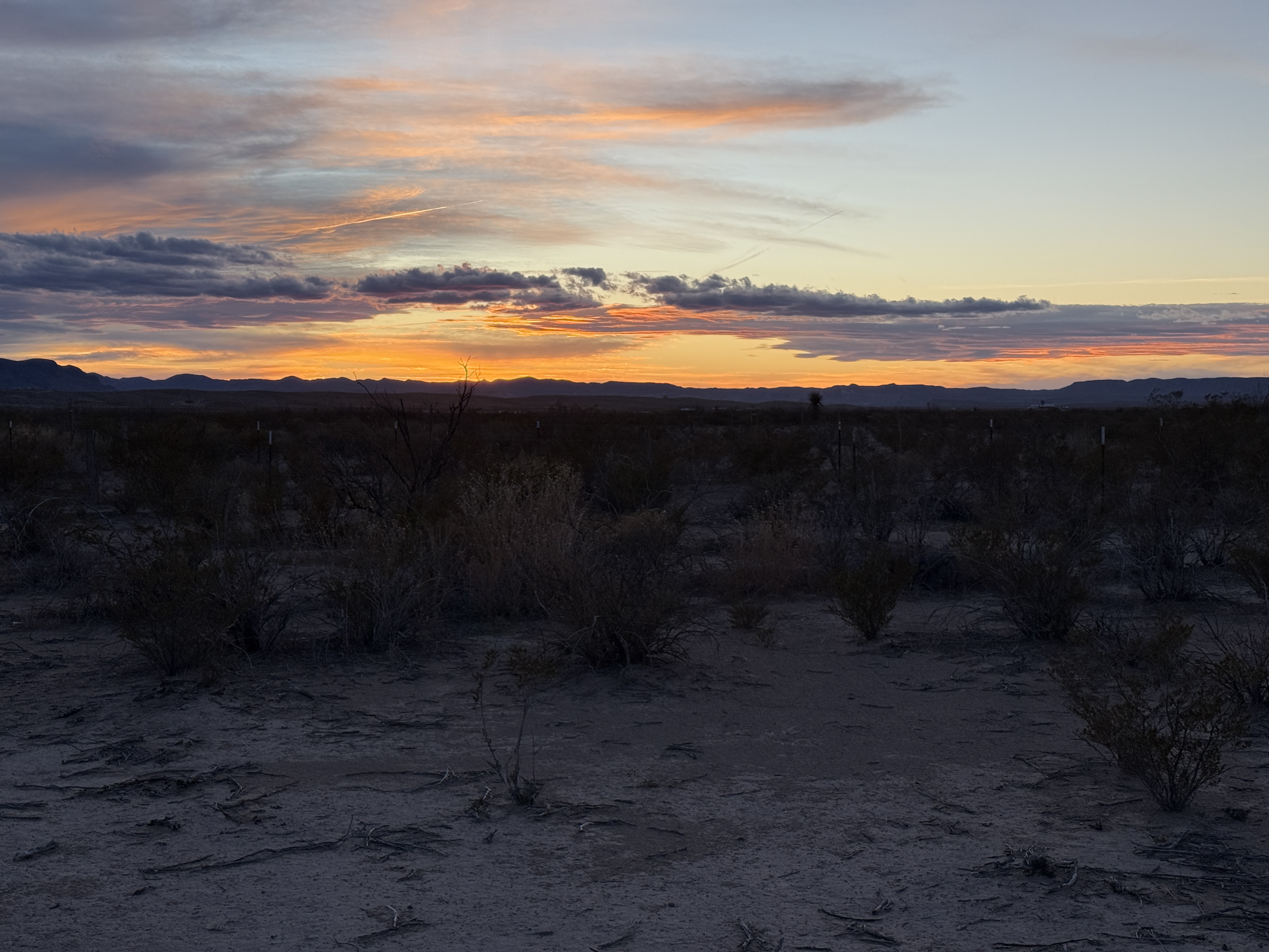
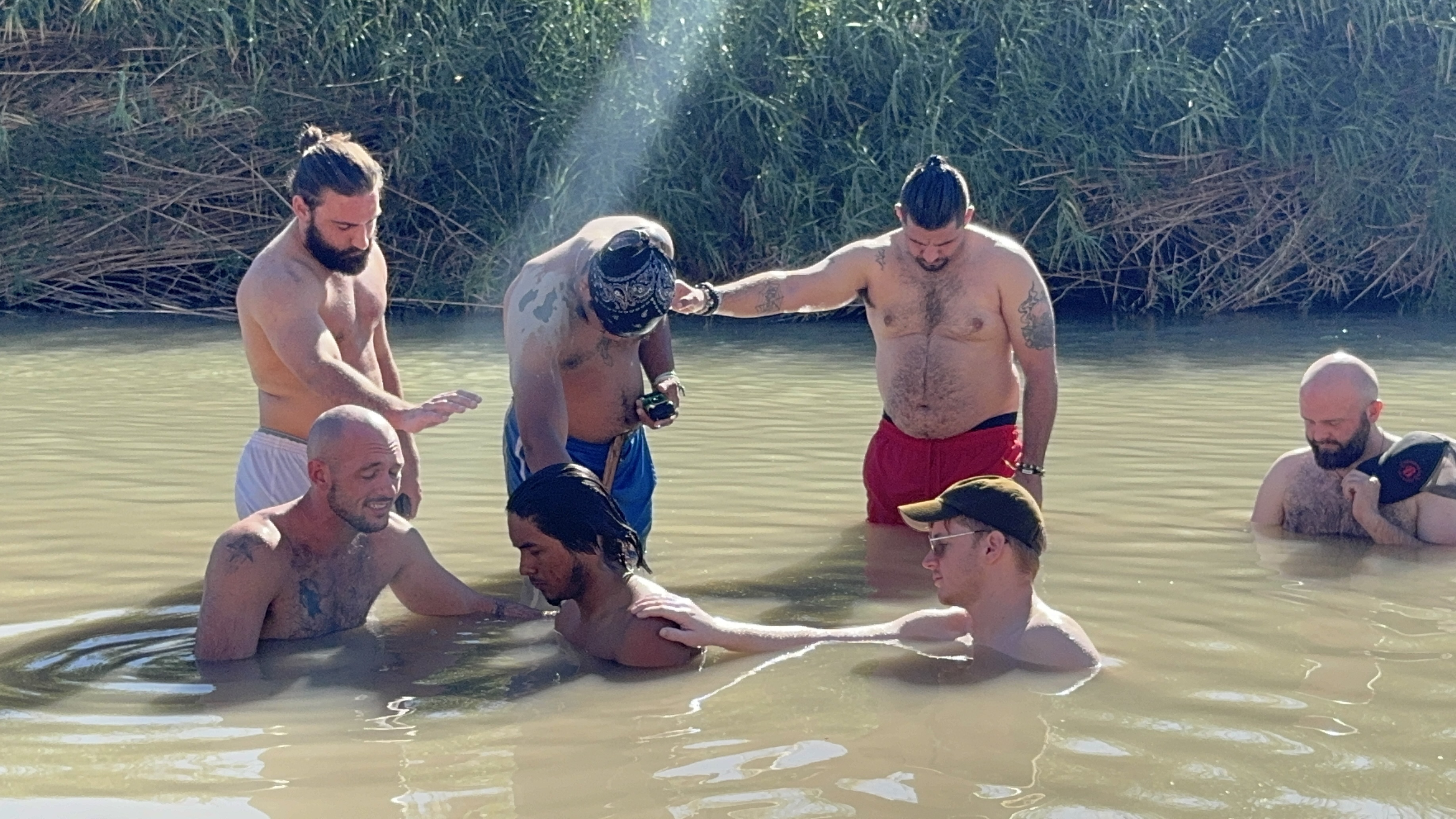
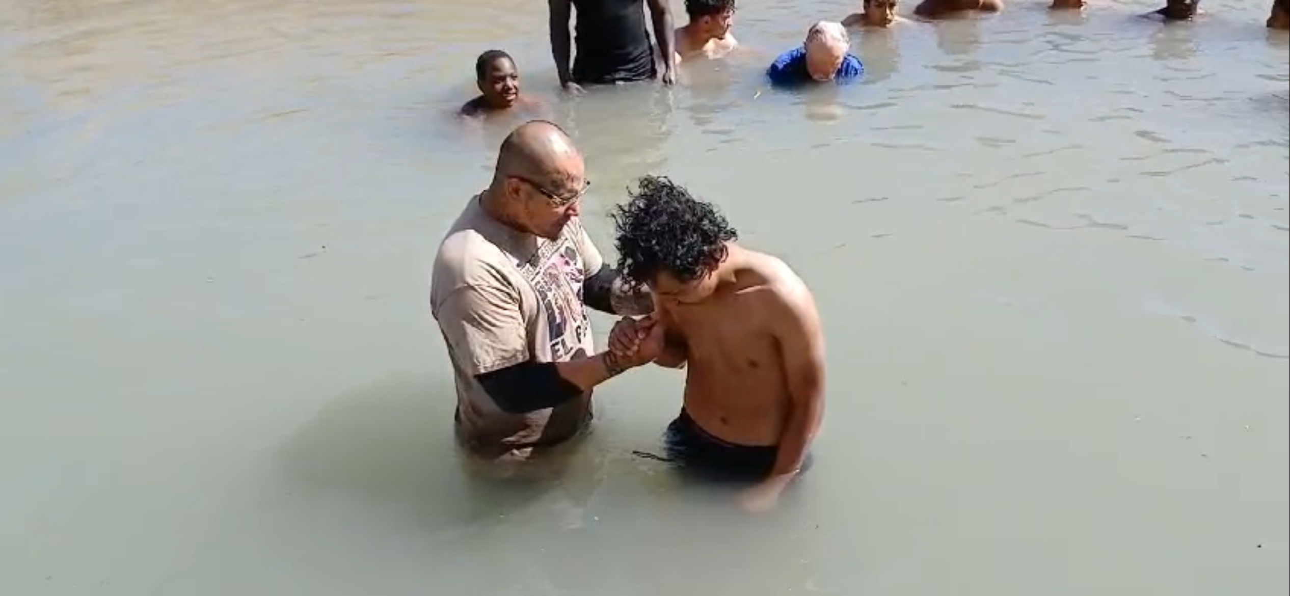
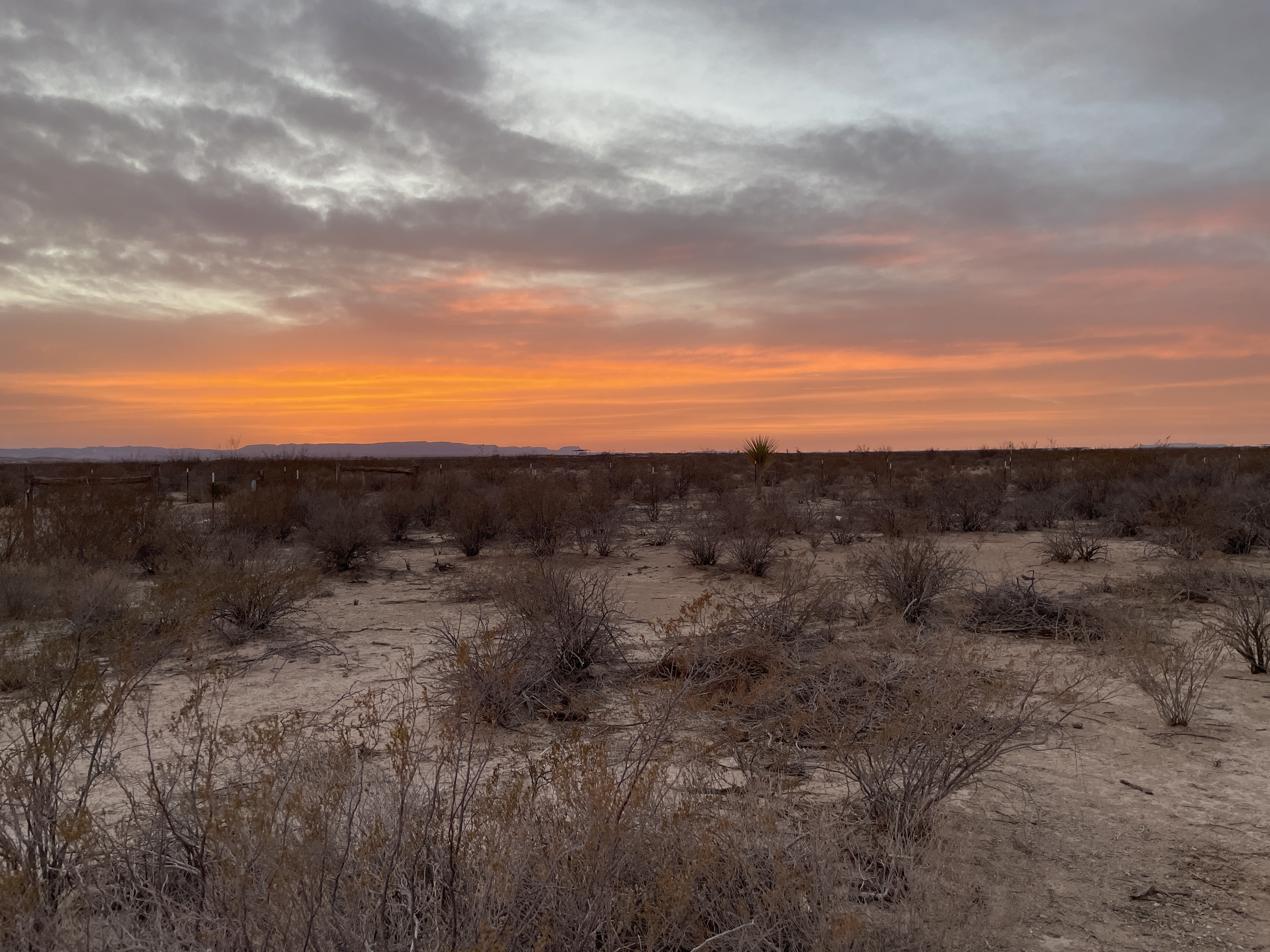
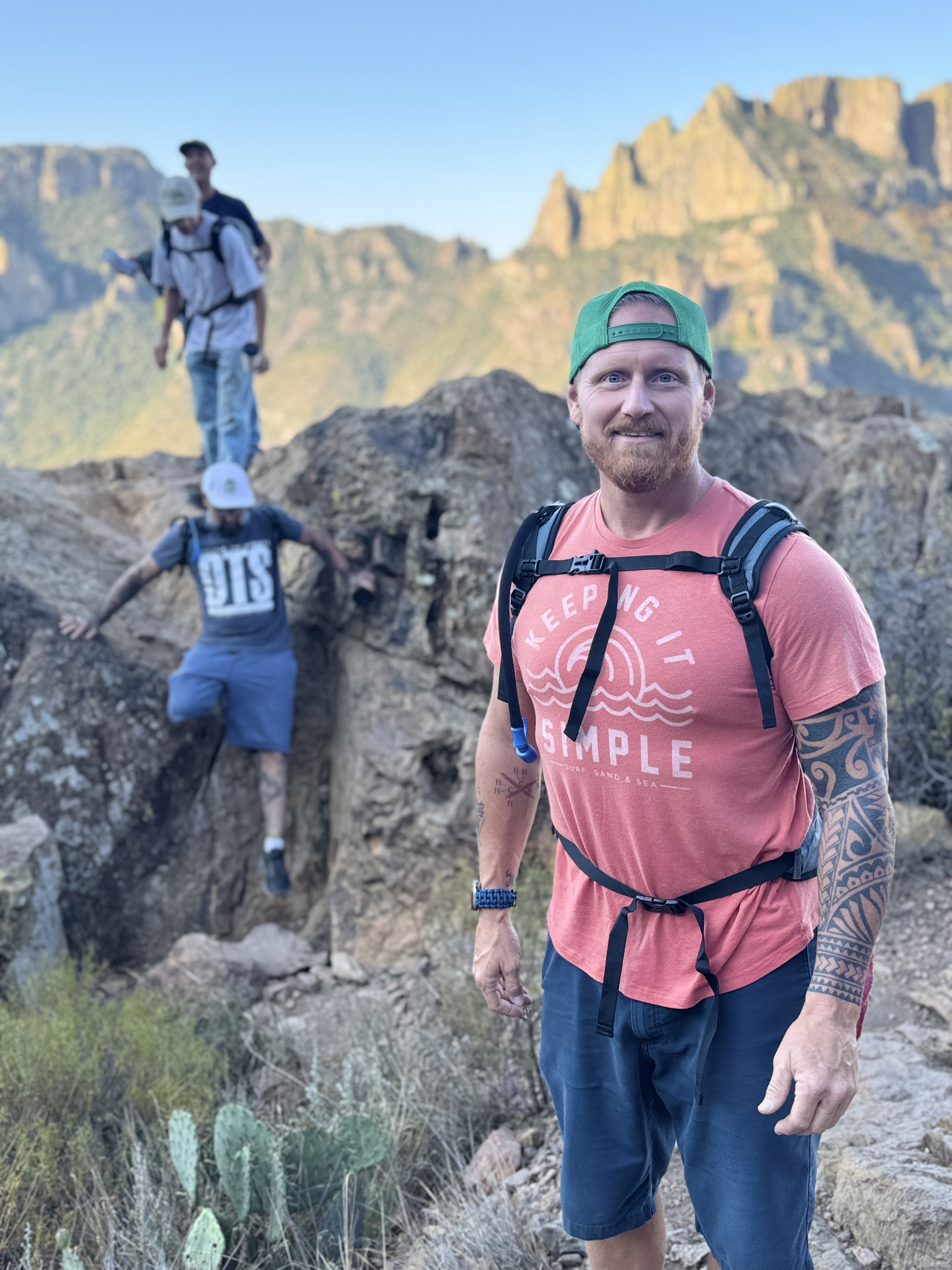
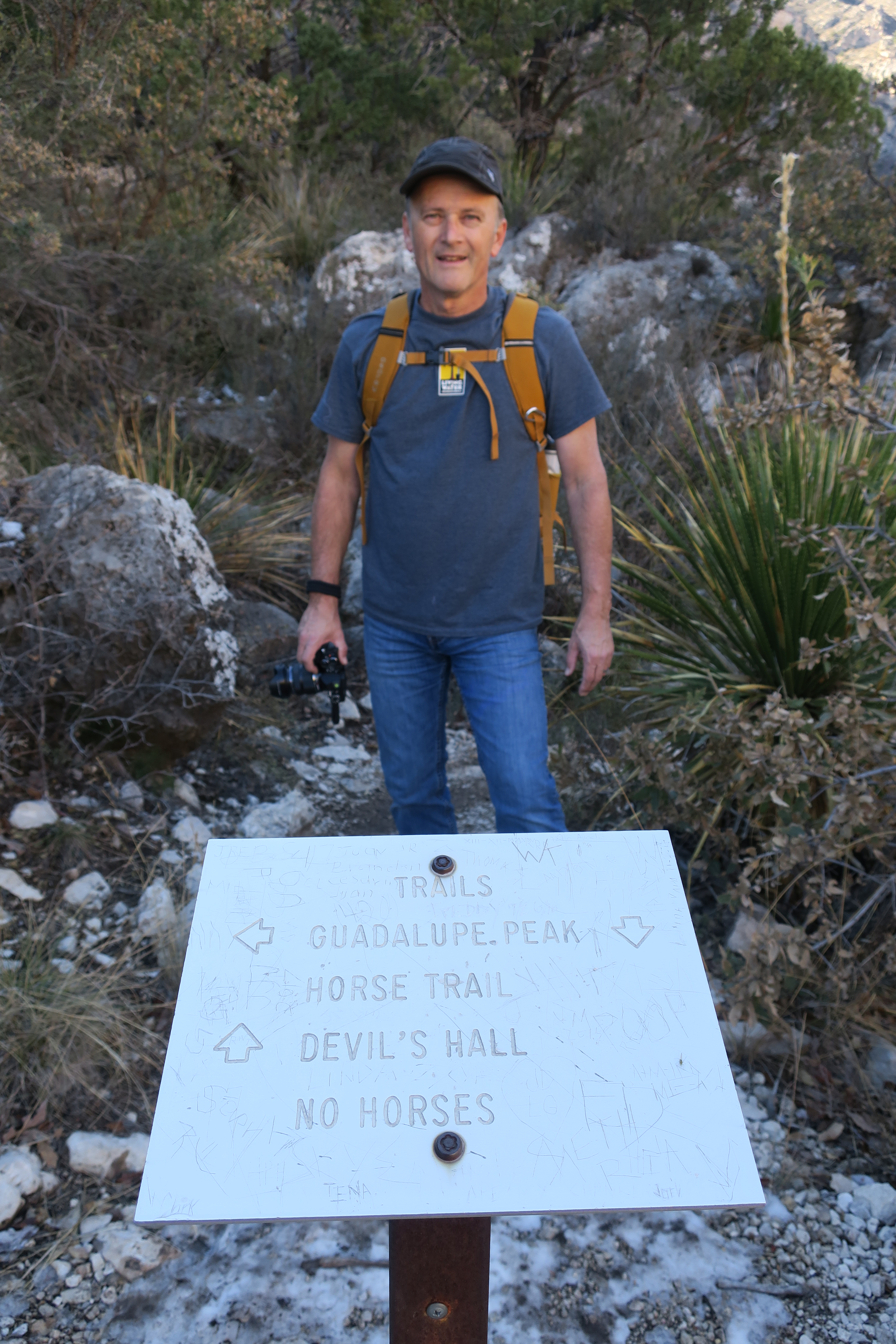
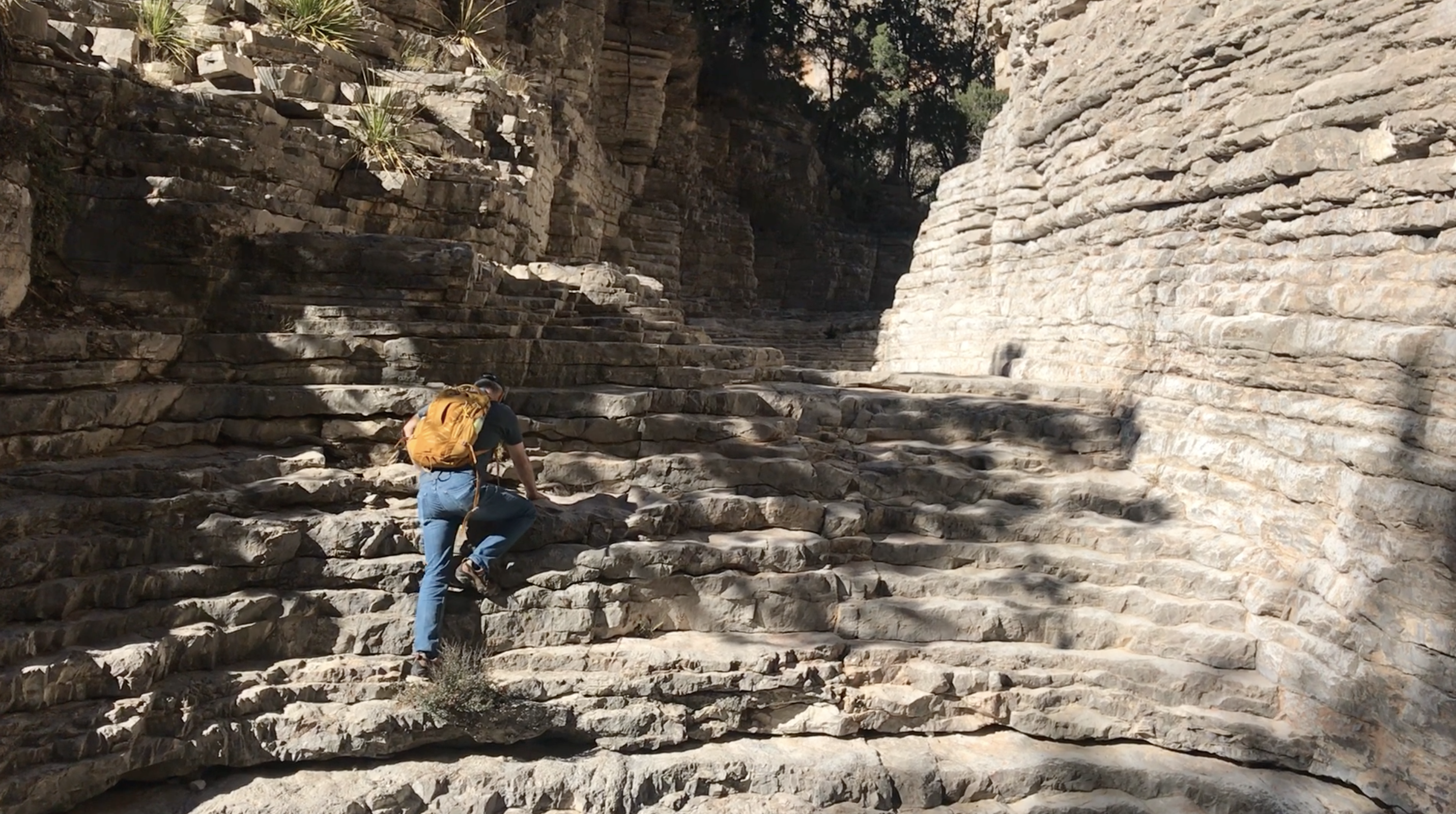
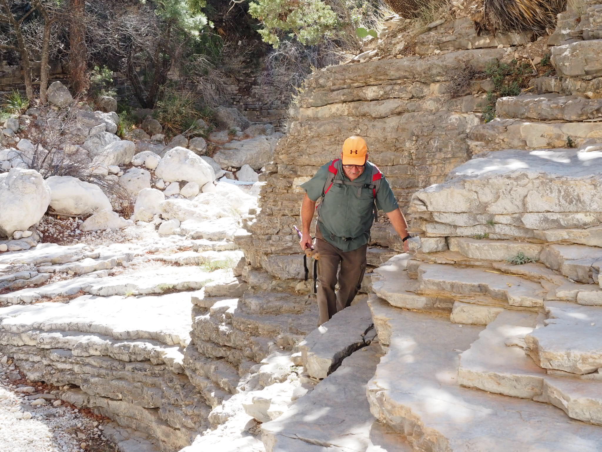
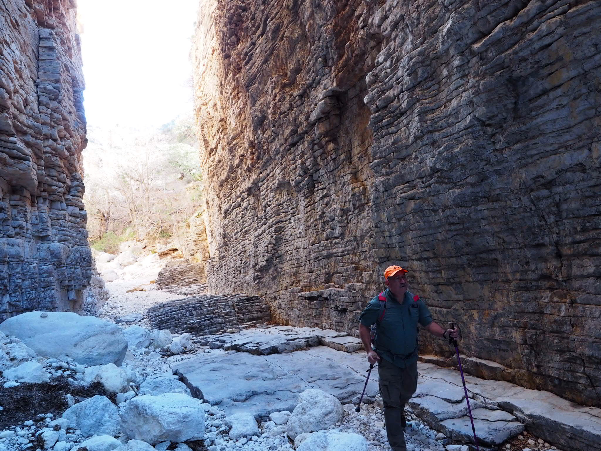
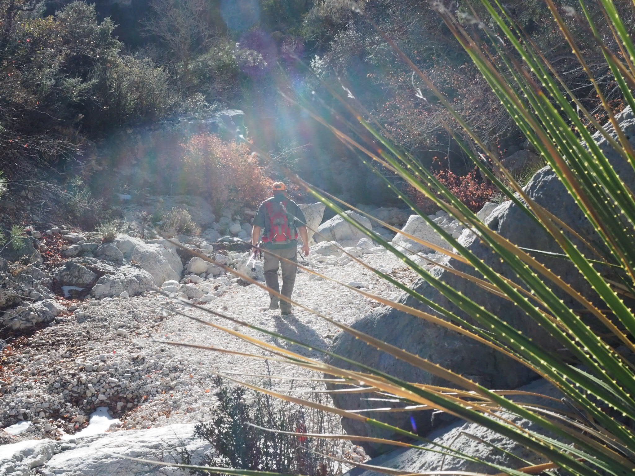
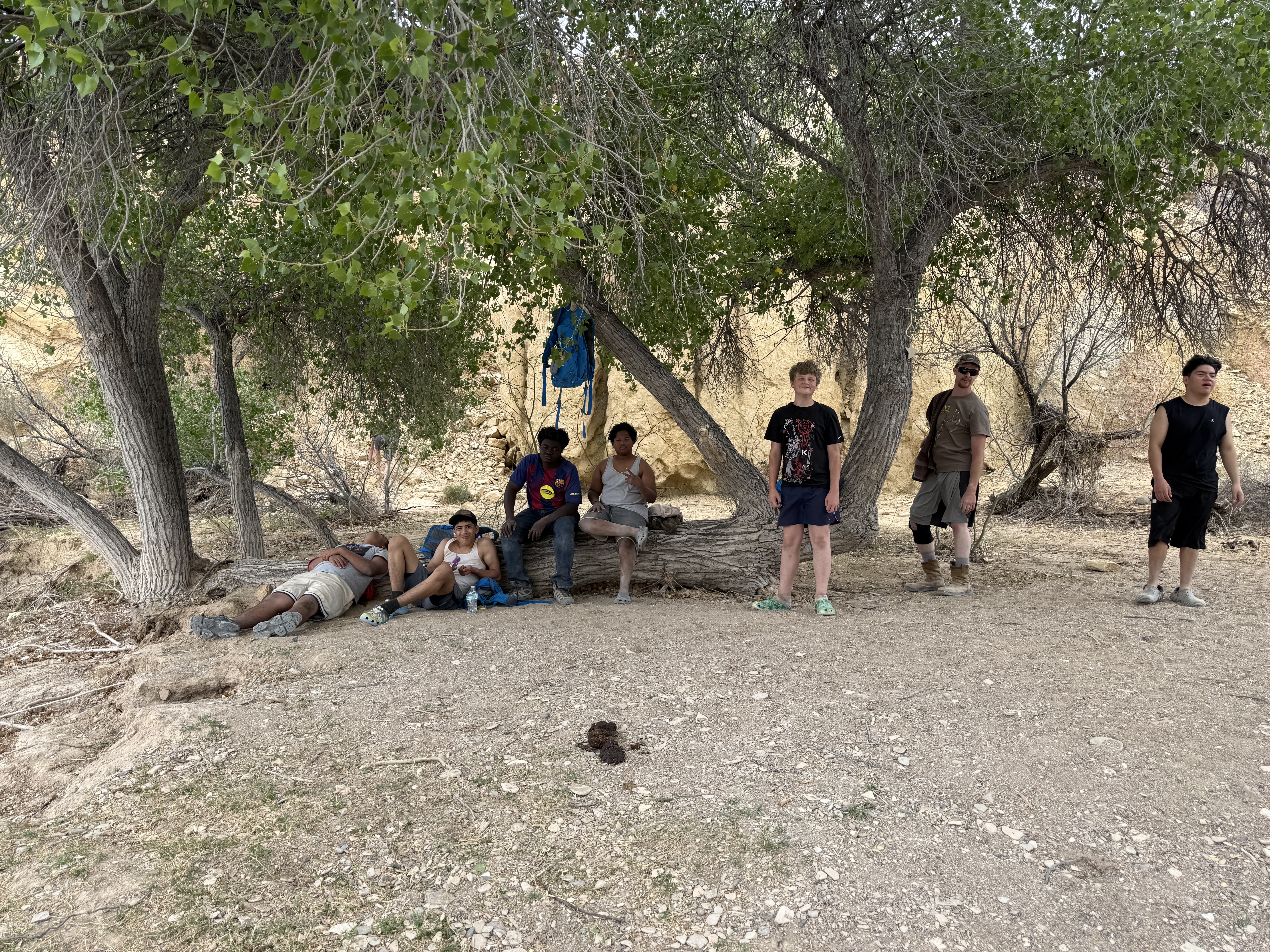
The boys enjoyed two days of adventure in Big Bend National Park, where they hiked, climbed, and scrambled across boulders. This year we added a couple of new experiences. We took the boys to Red Bluff, a beautiful place near our cabin, to hunt for arrowheads. Then we visited a spring-fed swimming hole along Terlingua Creek, where the boys enjoyed a cold swim in the desert.
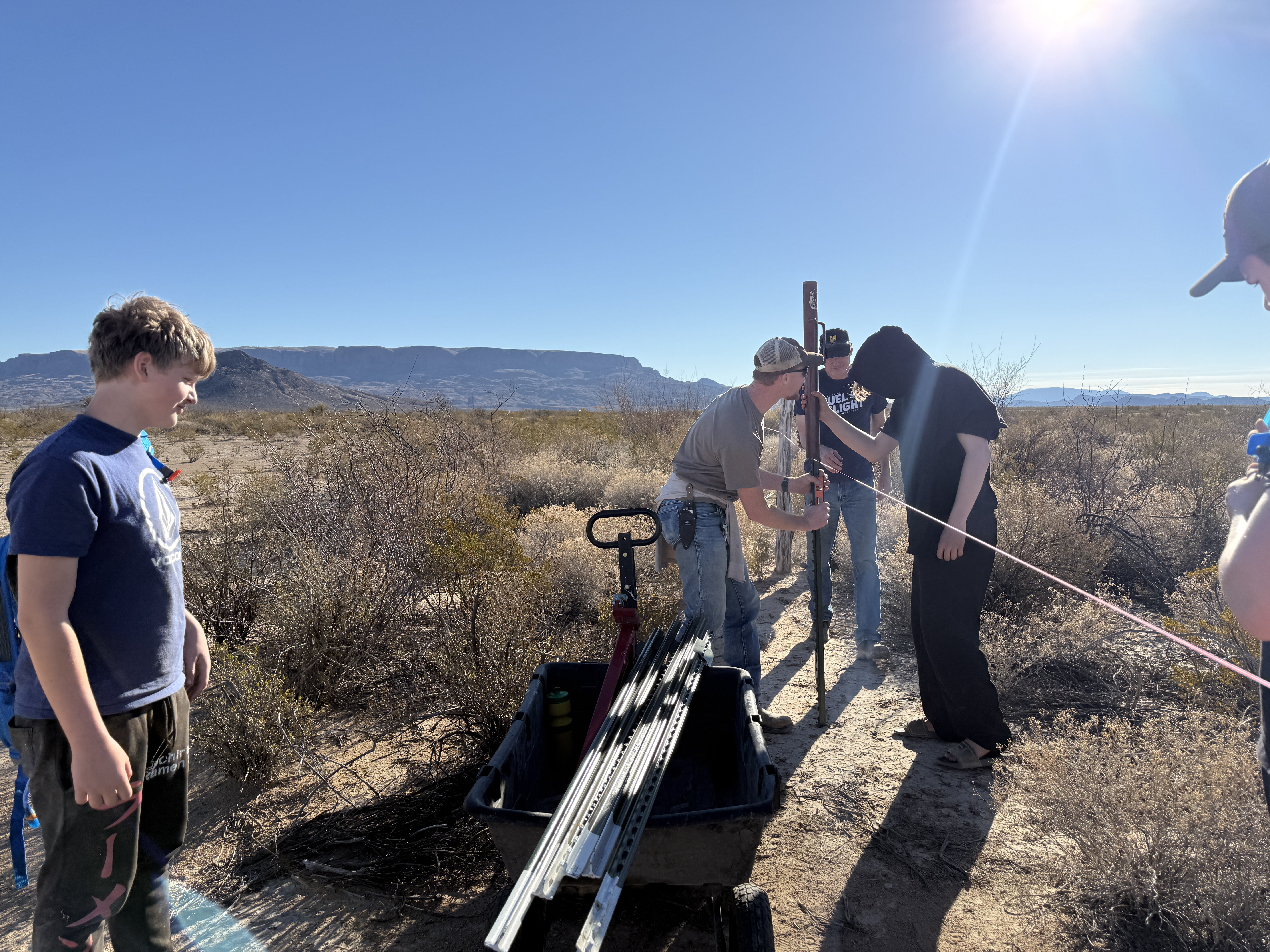
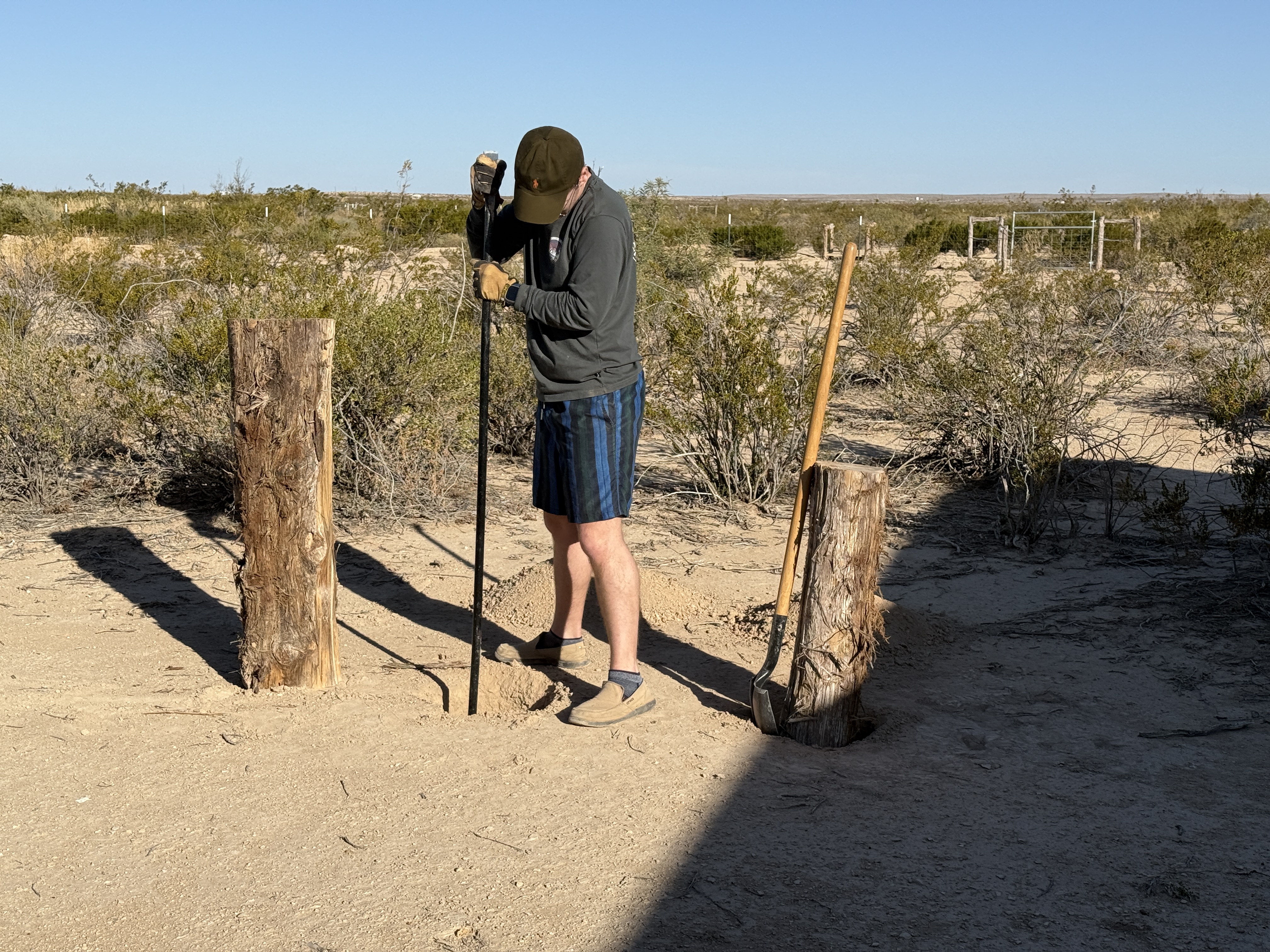
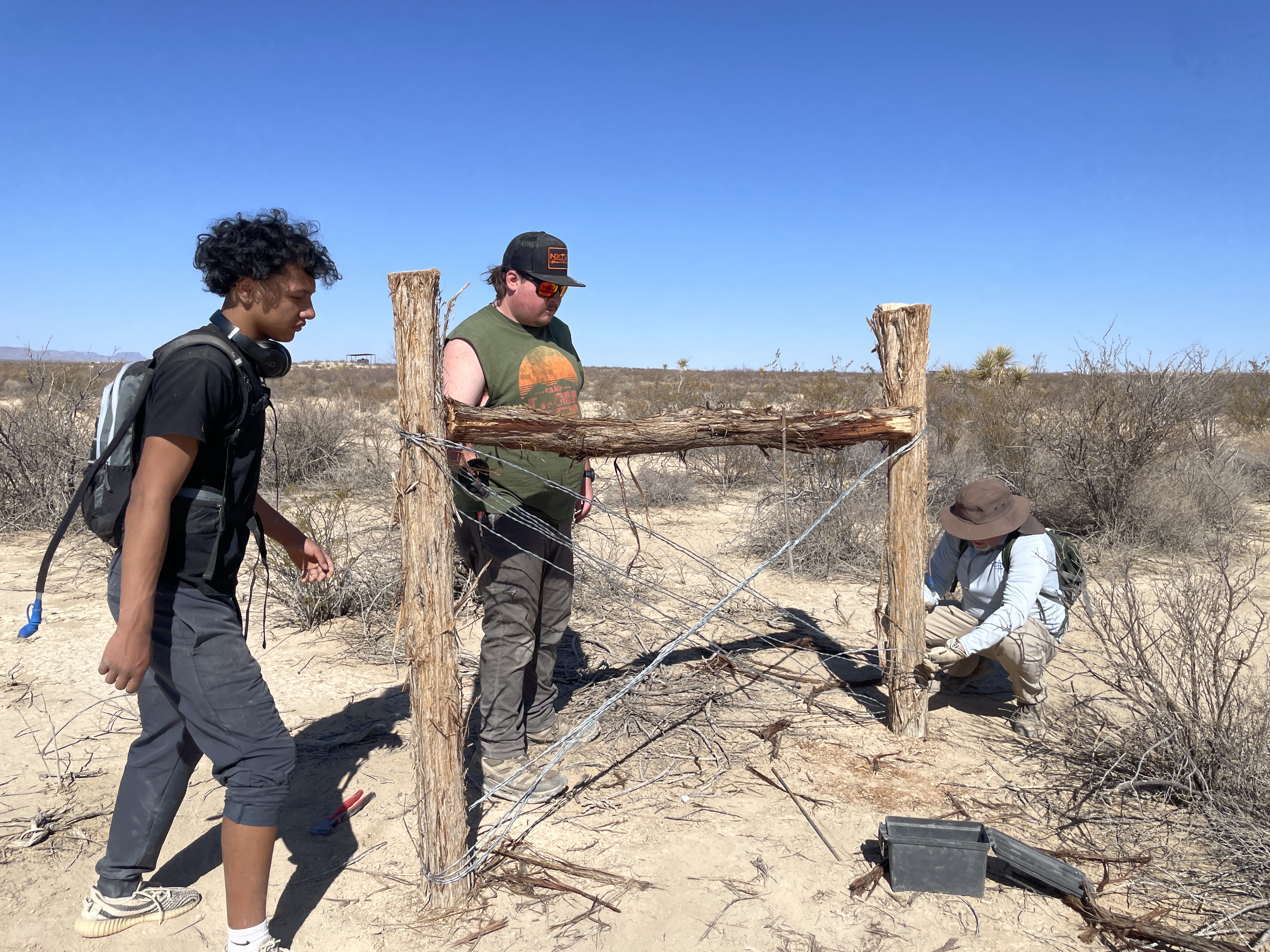
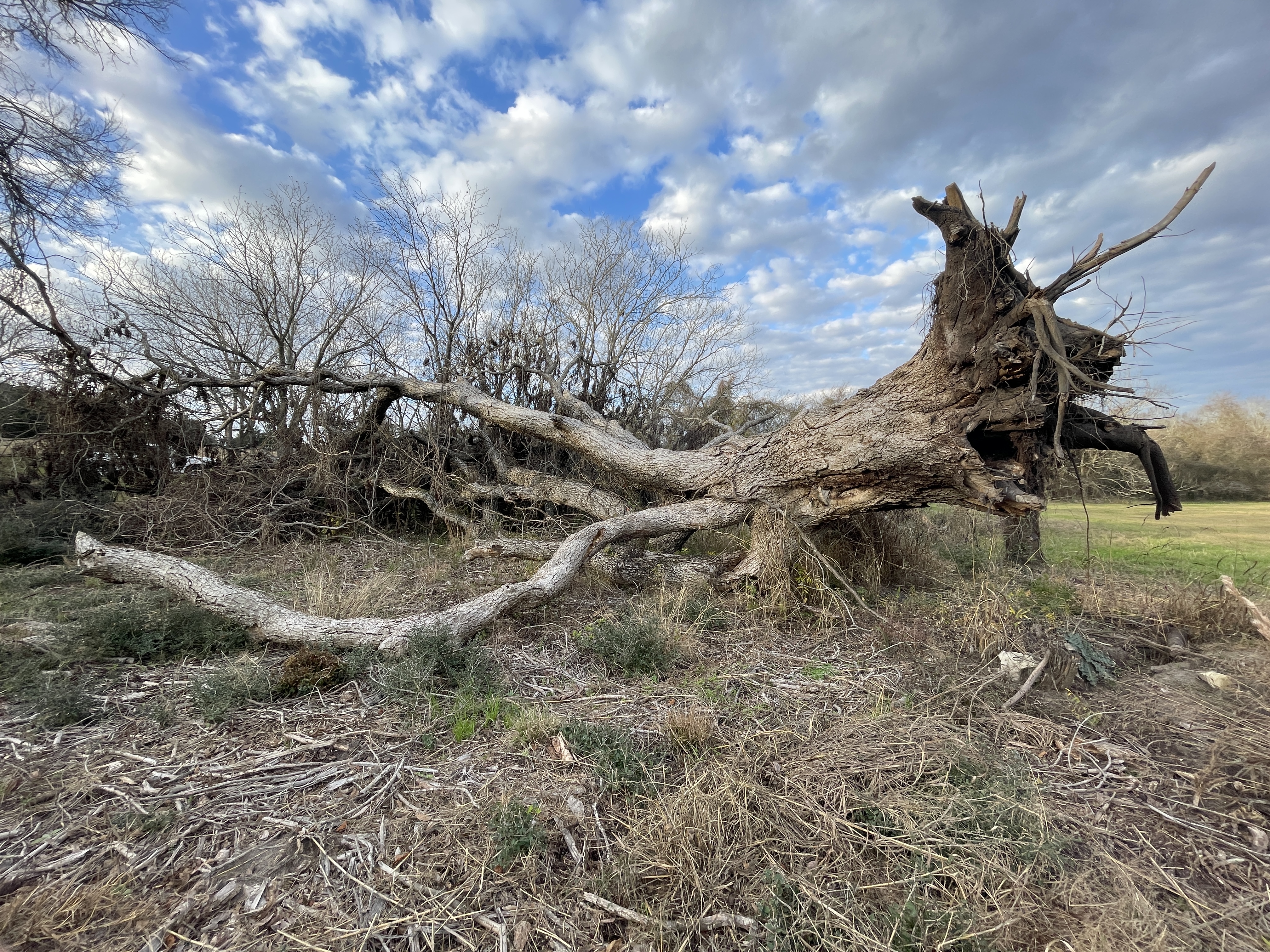
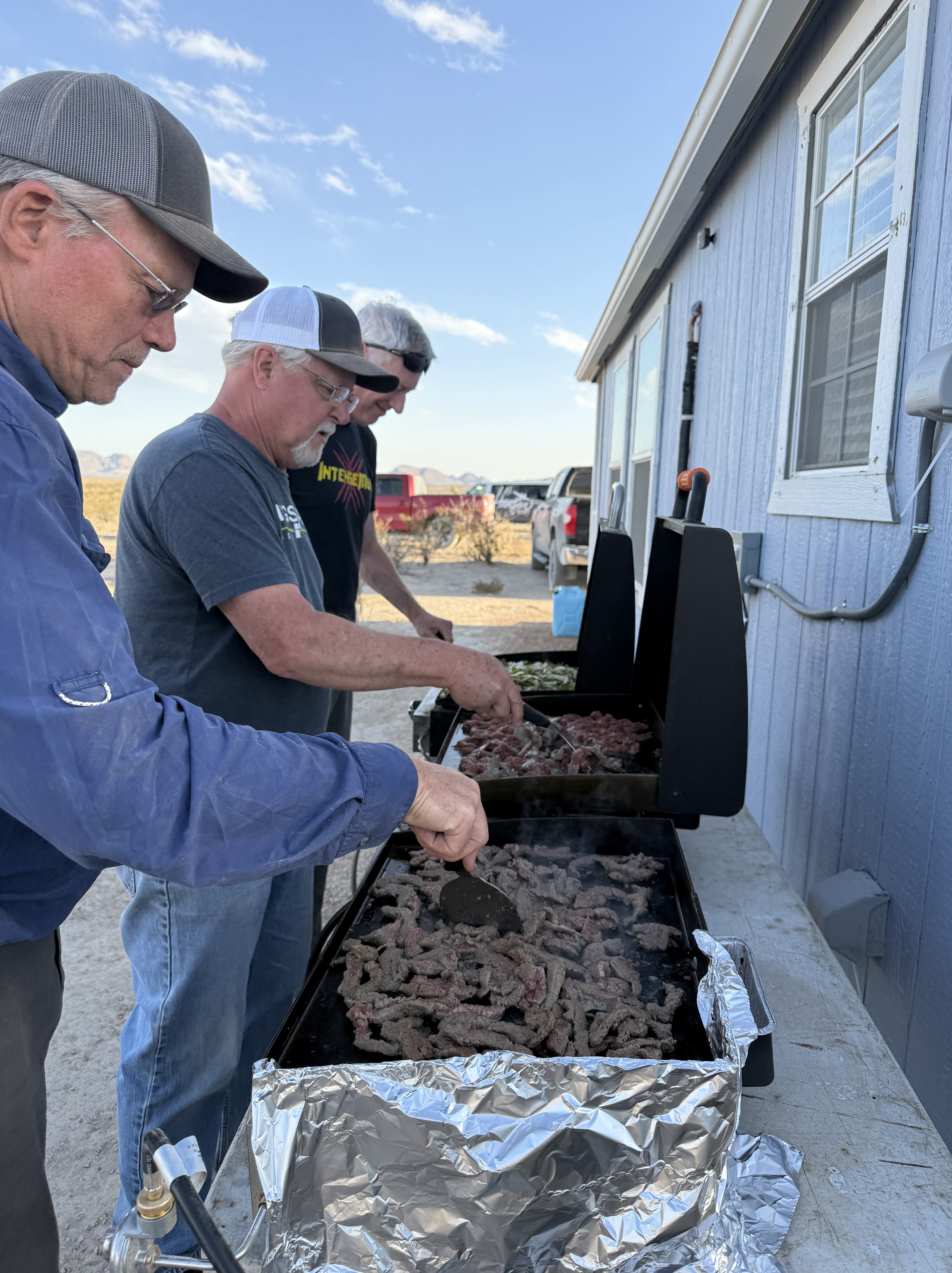
We also planned a day of work around the property. The projects we assign require the boys to work cooperatively to complete a task. This year they pounded in more than 80 t-posts along a fence line. It was hard work that required taking measurements, learning the difference between level and plumb, clearing brush, and driving posts into the earth.
These adventures do more than create memories. They help shape young men.
Throughout Scripture, God often formed His people in wilderness places. Moses spent years in the desert before leading Israel. David learned courage in the hills while tending sheep. Elijah encountered the voice of God in a cave. Even Jesus began His ministry after forty days in the wilderness.
The wilderness has always been a classroom where character is formed.
When boys step away from screens and other distractions and enter the wide spaces of God’s creation, something important begins to happen. They discover that they can endure discomfort, overcome challenges, and accomplish things they once thought were impossible.
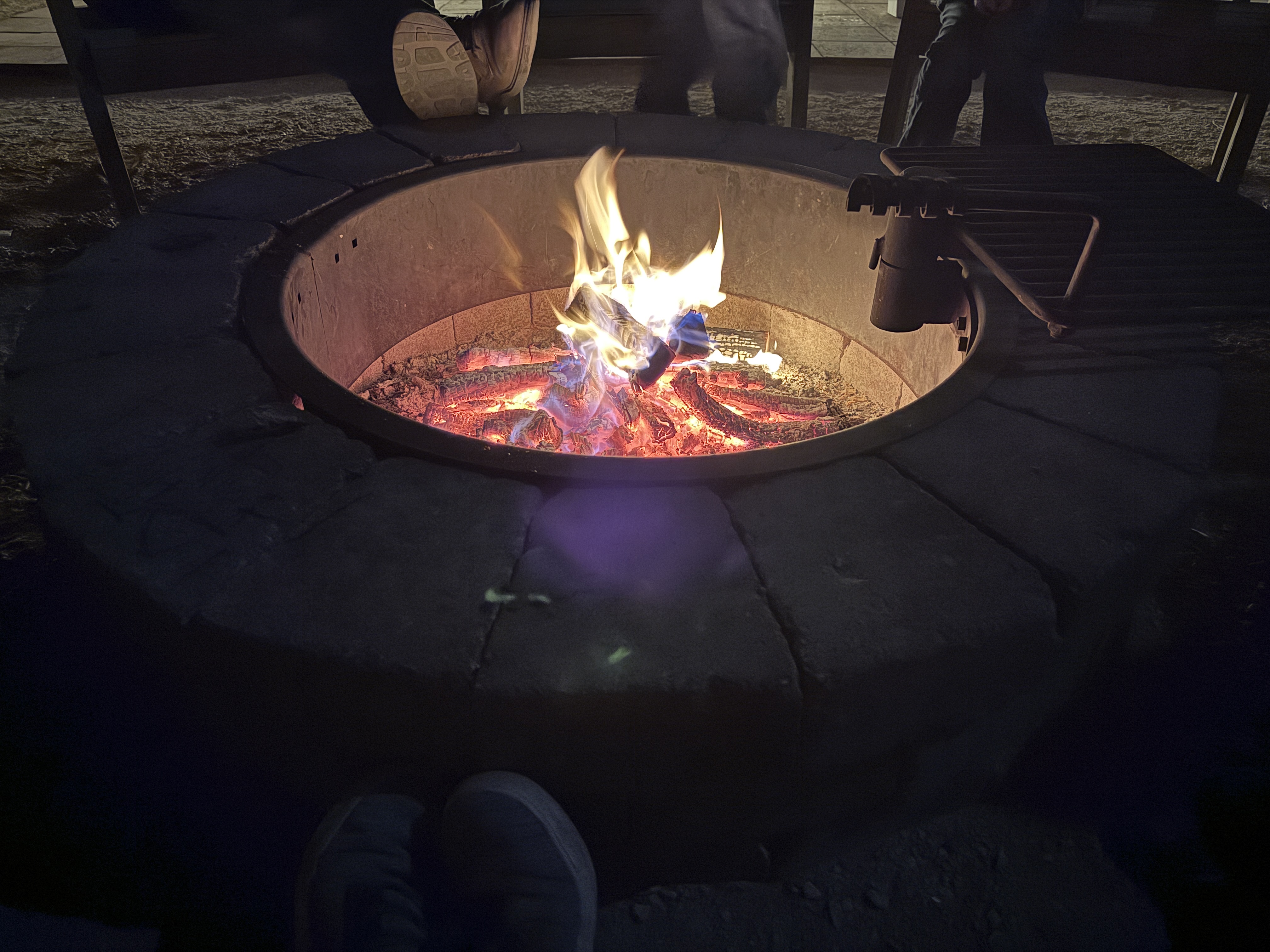
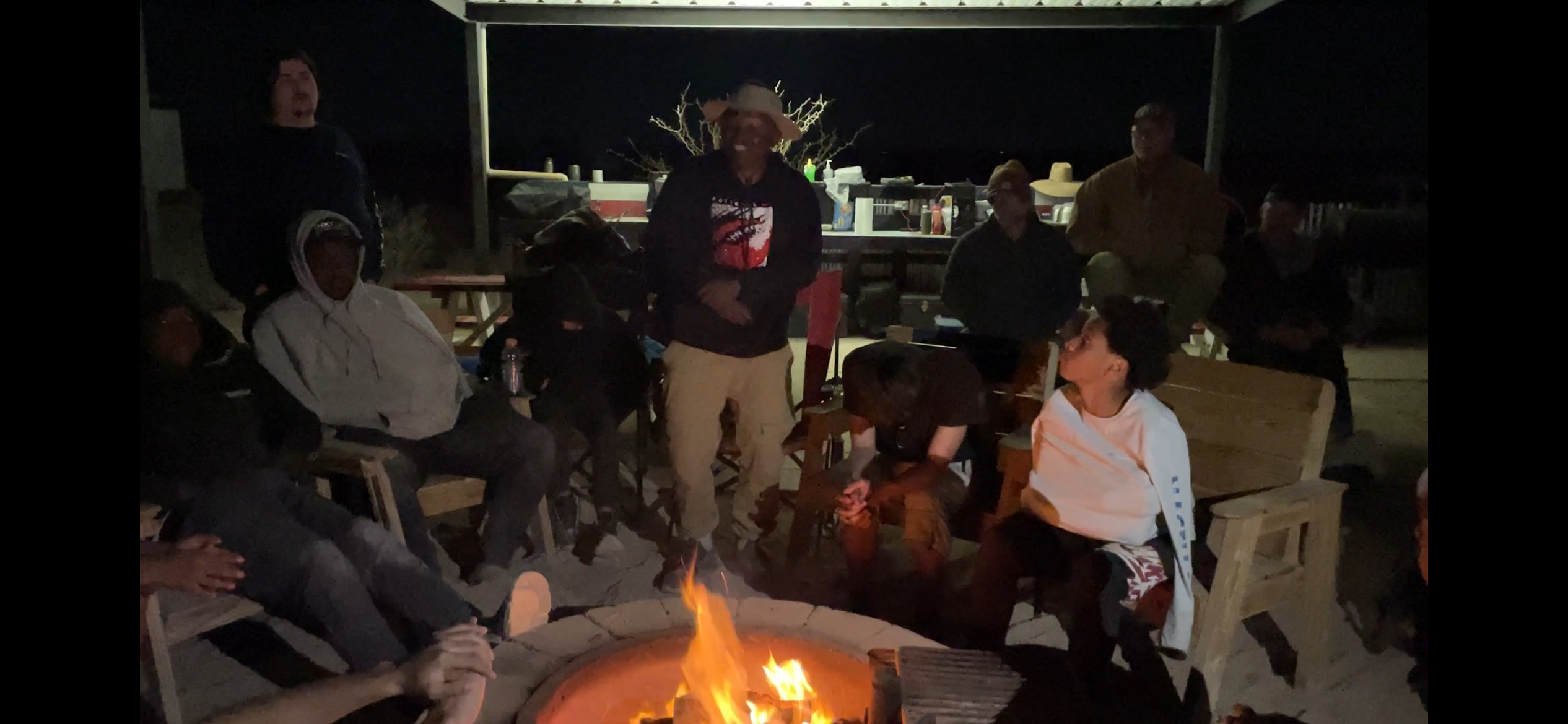
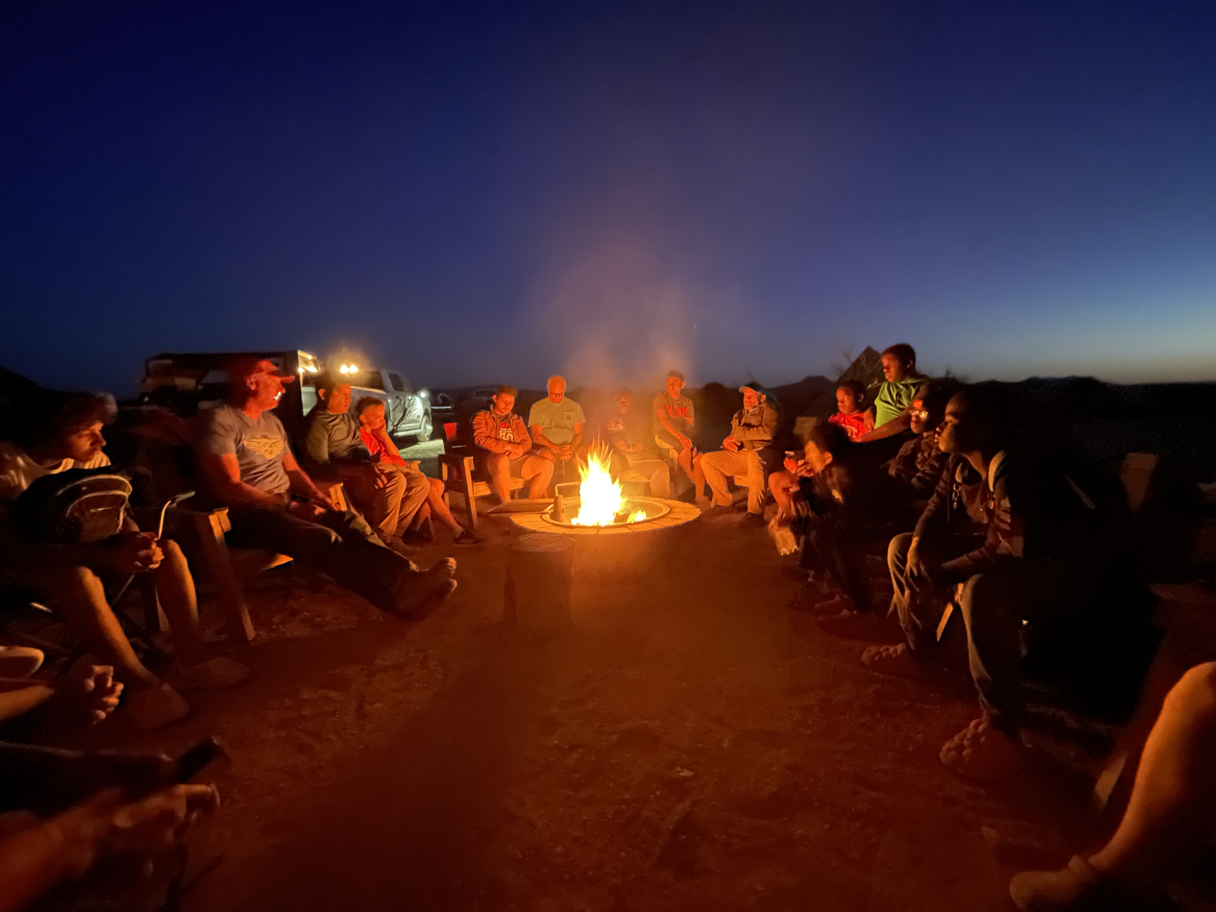
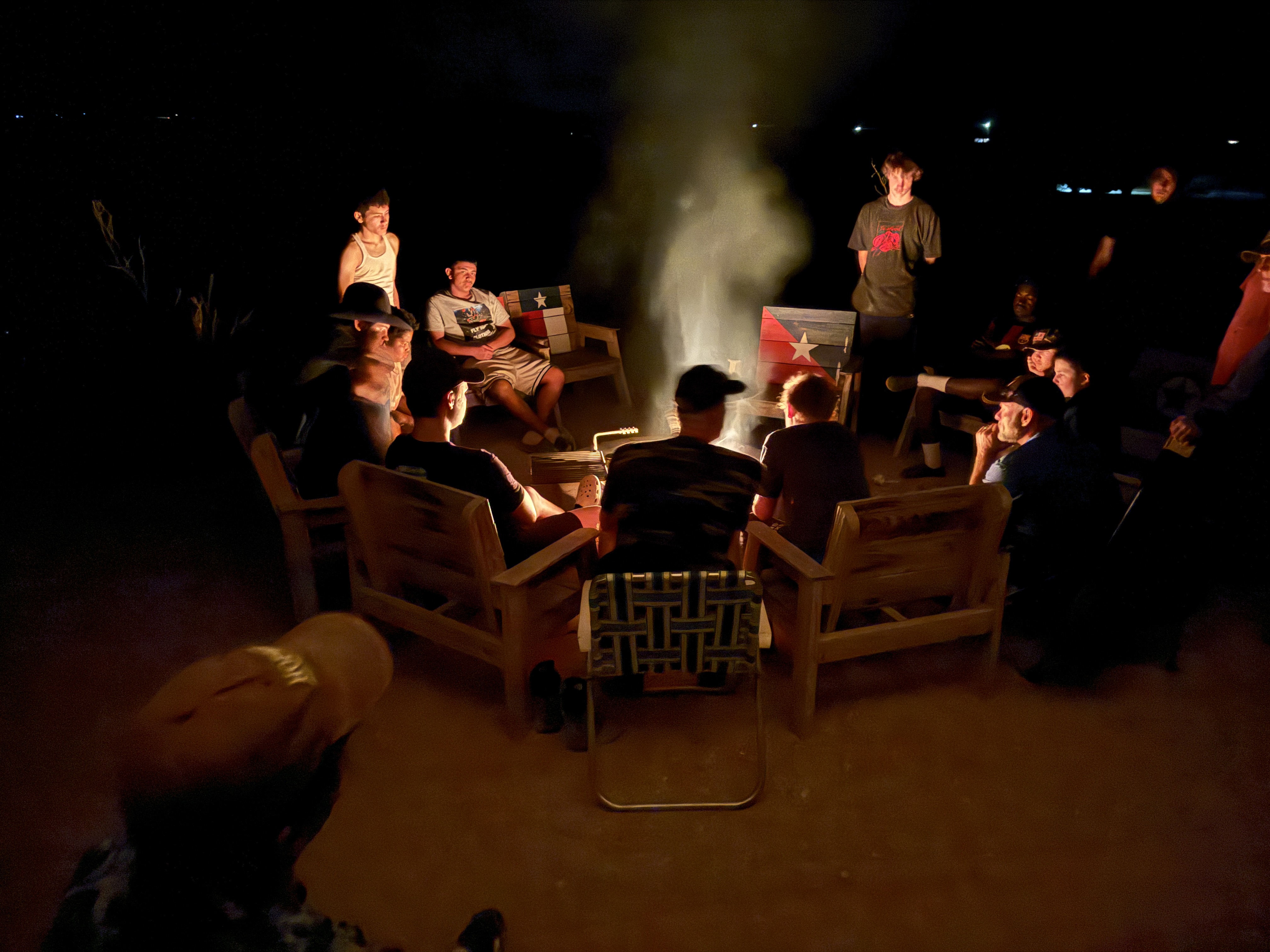
Many of these boys come from homes without a father present. Experiences like this allow them to spend meaningful time with mentors who model courage, responsibility, and faith. Around a campfire, on a trail, or sitting beneath a sky full of stars, conversations happen that simply do not happen anywhere else.
We are grateful for ministries like Eyes On Me that are investing in the next generation of young men. And we are grateful for the mentors who give their time, energy, and hearts to walk alongside these boys.
Sometimes the most important work in shaping a young man happens in the adventure classroom — on a trail, around a campfire, and under a canopy of stars.